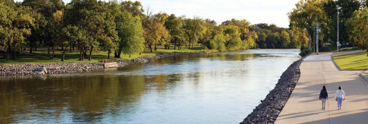
This segment of the river is gentle, seldom interrupted by rapids. This stretch is designated as a Wild and Scenic River. The area is also rich in Minnesota history, and offers some of the most impressive landscapes in southwestern Minnesota. There is a class I rapids at Patterson’s Rapids near Renville County Park. About rapids classes.
Virtual Tour: Take a virtual tour. It’s a great tool to help you plan your next visit! Panoramic tour | Snapshot tour
Minnesota River Water Trail sections and maps:
- Ortonville to Granite Falls (Map PDF, GeoPDF Map PDF)
- Granite Falls to State Hwy 4 (Map PDF, GeoPDF Map PDF)
- State Hwy 4 to LeSueur (Map PDF, GeoPDF Map PDF)
- LeSueur to Fort Snelling (Map PDF, GeoPDF Map PDF)
- What is a geoPDF?
Local contact
Yellow Medicine, Chippewa, Renville, Redwood, Nicollet, and Brown Counties, southwestern Minnesota
Contact DNR Parks and Trails Southern Regional Office: (320) 359-6067.
River level reports | Outfitters | Safety | Licenses & fees | Current conditions
River character
The river is generally calm through this segment. There are two areas which will require portaging, one in Granite Falls and one just southeast from there. Patterson’s Rapids (river mile 225.9) is a short stretch of white water tumbling over a bed of glacial drift boulders. The rapids fall about five feet in one-third of a mile and are of intermediate difficulty at normal water levels.
Landscape
From Granite Falls to North Redwood, the Minnesota flows through an area of granite outcrops. Some outcrops are the oldest rocks discovered in North America, dating back more than three billion years. The banks along this stretch of river are heavily forested with maple, elm, cottonwood and willow. Away from the river the high granite domes are covered with cedar and oak.
Fish and wildlife
The Minnesota River is a haven for bird life. Several species of waterfowl and wetland birds use the river corridor for nesting, breeding and resting during migration. Pheasants and Hungarian partridge find thick cover in the river valley for nesting and for protection from harsh winter storms.
The Minnesota also supports a large and relatively diverse fish population. Although carp and other riverine fish predominate, anglers searching the snags and roots wads can occasionally hook flathead catfish exceeding 40 pounds. Anglers searching river runs and pools can also hook channel catfish exceeding 10 pounds.
Walleye, sauger, and white bass are fairly numerous and vulnerable to angling when congregated. Anglers may also catch an occasional northern pike, smallmouth bass, and shovelnose sturgeon. Anglers fishing backwaters areas can occasionally find bluegill and black crappie. Anglers should continue to report tagged flathead catfish to Department of natural Resources, Hutchinson Fisheries Management Area, 20596 State Highway 7, Hutchinson, MN 55350.
The Minnesota Department of Health has guidelines for consuming fish taken from Minnesota’s lakes and rivers. Go to the Fish Consumption Advisory Page to find out more.
History
Before the 1862 Sioux Uprising the Upper Sioux Agency (river mile 240) was one of the dispersal points where the U.S. government distributed food, supplies and annual payments to the Dakota Indians, who were confined by treaties to reservations along the river. The agency was also an educational center where Indians were taught farming, carpentry and other skills valued by white civilization. During the uprising white settlers abandoned the agency and the Dakota burned it to the ground. Today the area is preserved in Upper Sioux Agency State Park.
Patterson’s Rapids were named after Charles Patterson, an early trader who in 1783 established a trading post at the rapids. Sacred Heart Creek, which enters the Minnesota here, and the nearby town of Sacred Heart also owe their names to Patterson. The trader wore a bearskin hat and, since the bear was a sacred animal to the Dakota, they called him the Sacred Hat man; this name later became Sacred Heart.
The area near Patterson’s Rapids was the site of a short-lived gold rush in the 1890s. Discovered in 1894, the gold vein was soon depleted and the boom town of Springville became a ghost town.
In the summer of 1862 the Dakota faced starvation when their government annuities were delayed by bureaucratic red tape. During the resultant Sioux Uprising the Indians attacked settlements throughout the river valley and prepared to overrun the small garrison at Fort Ridgely. Chief Big Eagle later explained, “We thought the fort was the door to the valley as far as to St. Paul, and if we got through the door nothing could stop us this side of the Mississippi.”
Valley settlers, some escaping the Dakota by means of the Redwood Ferry (river mile 198.8), had flocked to the fort for protection. There they withstood Indian attacks until they were relieved by state troops. The fort area is now preserved in Fort Ridgely State Park.
